Çanakkale, Türkiye & Alexandroupolis, Greece, September 2026
Çanakkale, Türkiye
Çanakkale is a city and seaport on the southern shore of the Dardanelles. The city had a population of 143,622 in 2021. The remains of the ancient city of Troy are close by.
Wednesday, 9th September 2026
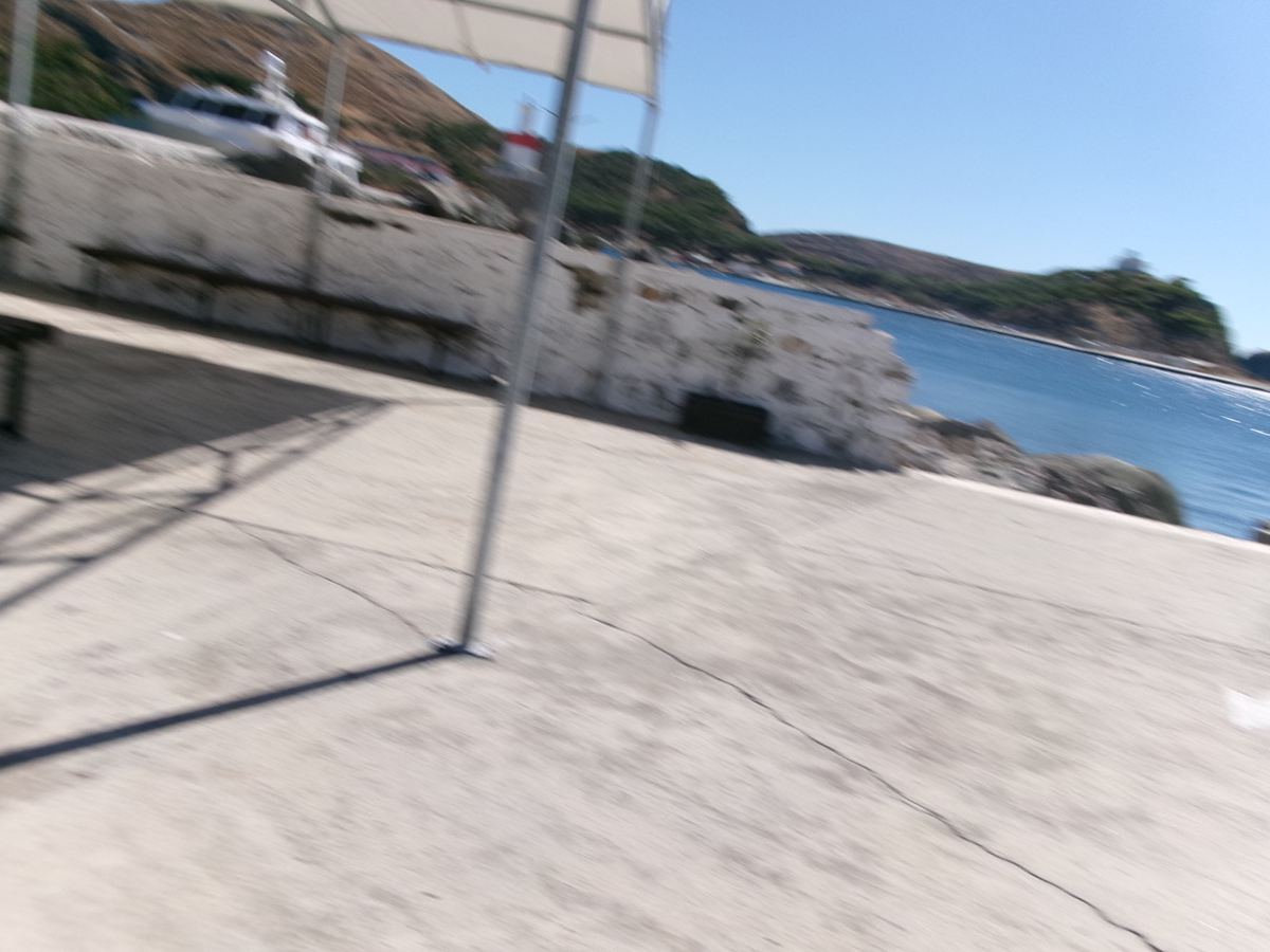
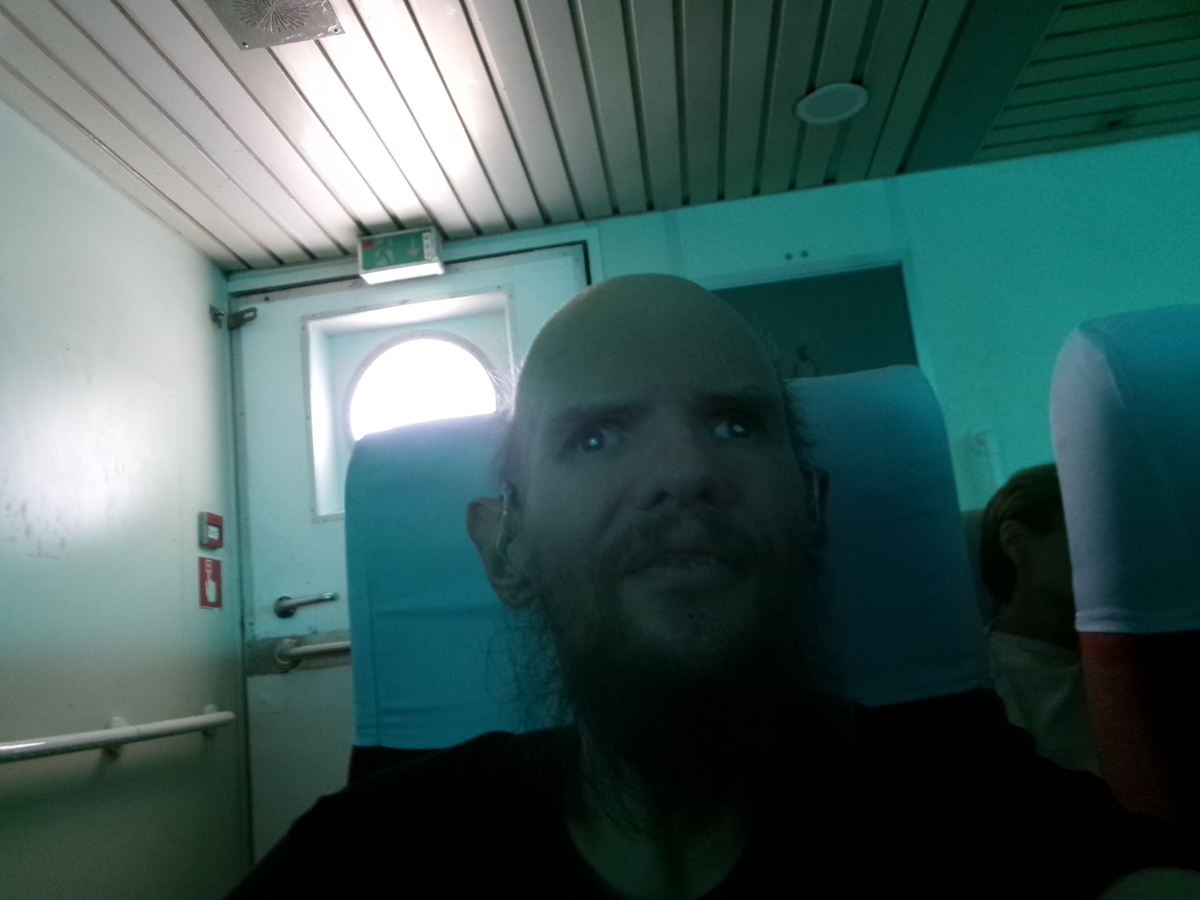
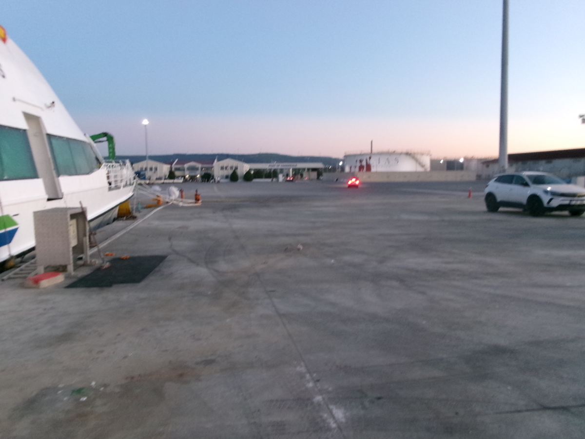
Taken at Myrina Port on Lemnos island, Greece. Tony and his partner, took the Limni Express ferry from Lemnos to Kepez, Canakkale, Türkiye. Lemnos (Limnos) is a rugged, windy, Greek island, part of the North Aegean Greek archipelago. A ferry is visible but part obscured behind a wall in front. The sea can be seen to the right.Tony onboard the Limni Express ferry travelling from the Greek island of Lemnos (Limnos) to Canakkale, Türkiye. He is sitting at the end of a row of high-backed seats with white headrest covers. There is an emergency exit doorway behind to the left.At the ferry port at Kepez, Canakkale, Türkiye. The photo is taken at dusk. A large open concrete dock area extends in front with the small white ferry docked to the left. Various buildings and a large white storage tank can be seen around the port area.
Thursday, 10th September 2026
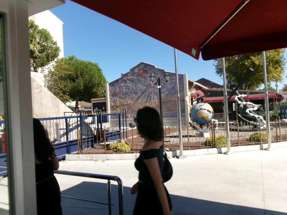
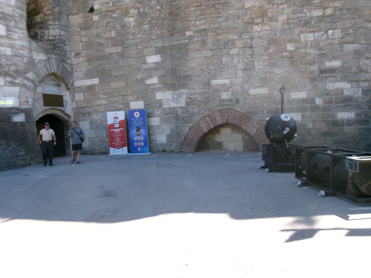
View towards a sculpture that is part of the Piri Reis Monument, located in Çanakkale city centre, near the port. Two women are passing by in the foreground. The sculpture is made-up of two large ship’s anchors mounted on concrete bases. The anchors appear old but they have thick silvery metal chains attached which look modern. One of the anchors also has a globe sculpture attached with blue oceans and golden landmasses. Piri Reis was an Ottoman Turkish cartographer, admiral, and corsair. He was born circa 1465–1470 and was executed by beheading in Cairo, Egypt, in 1553. He is best known for his 1513 world map and his nautical atlas, the Kitab-ı Bahriye (Book of the Sea). His maps provide a glimpse into the world during a time of major geopolitical change, when the Americas were being explored, and the Ottoman Empire dominated the Eastern Mediterranean.Courtyard outside Çimenlik Castle (also known as Kale-i Sultaniye) which today houses Çanakkale Military Marine Museum (Naval Museum). The arched entrance doorway to the museum is to the left where a high stone wall joins with a stone turret. Çimenlik Castle was built in 1452 to control the Dardanelles strait, and it remained in use to 1915, when it was bombarded by the British Navy. It now contains the Çanakkale Military Marine Museum, which displays old weaponry, military equipment and several Turkish ships, used in World War I and beyond.
Admission to the museum is 600 Turkish Lira for foreign adults and 300 Turkish Lira for those aged 25 and under. Blind or visually impaired visitors can enter for free. Address: Fevzipasa Mahallesi, Çimenlik Sokak, Çanakkale.
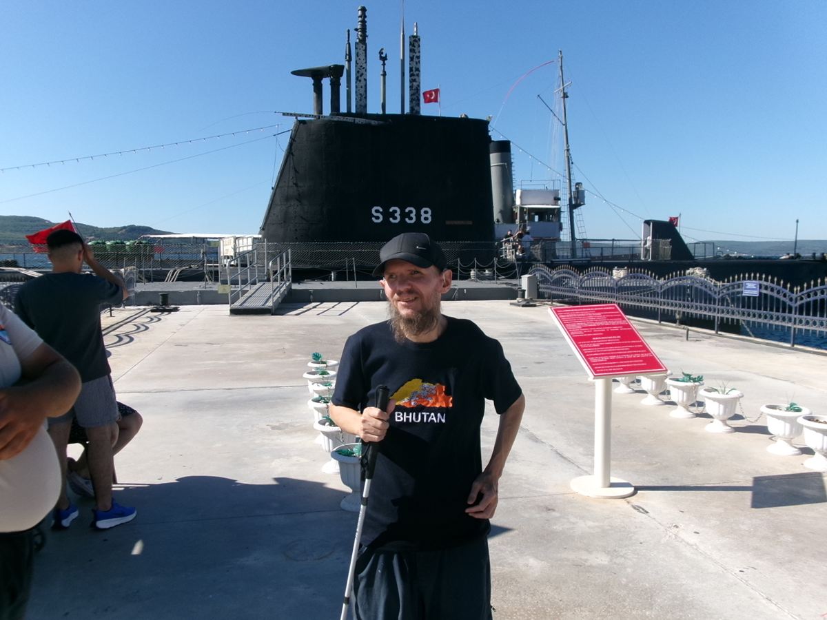
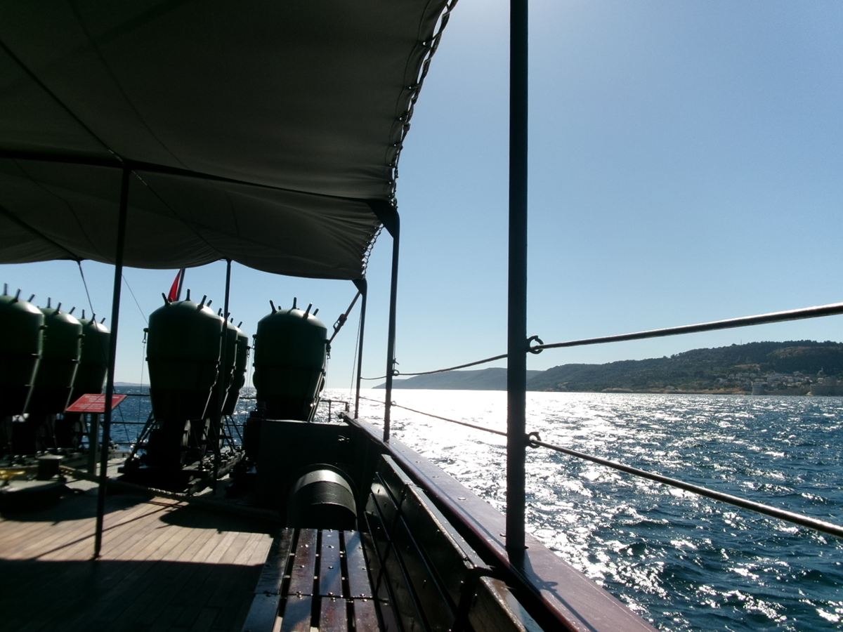
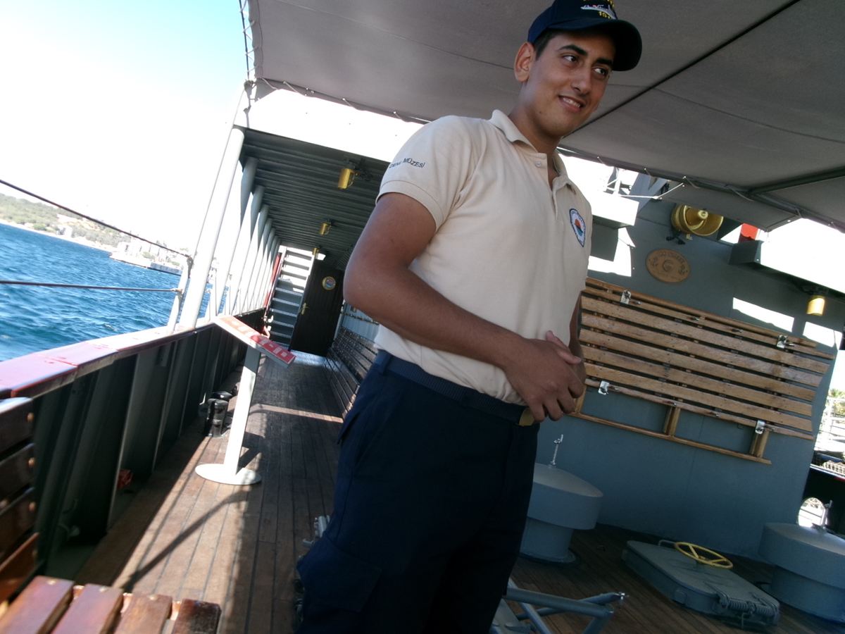
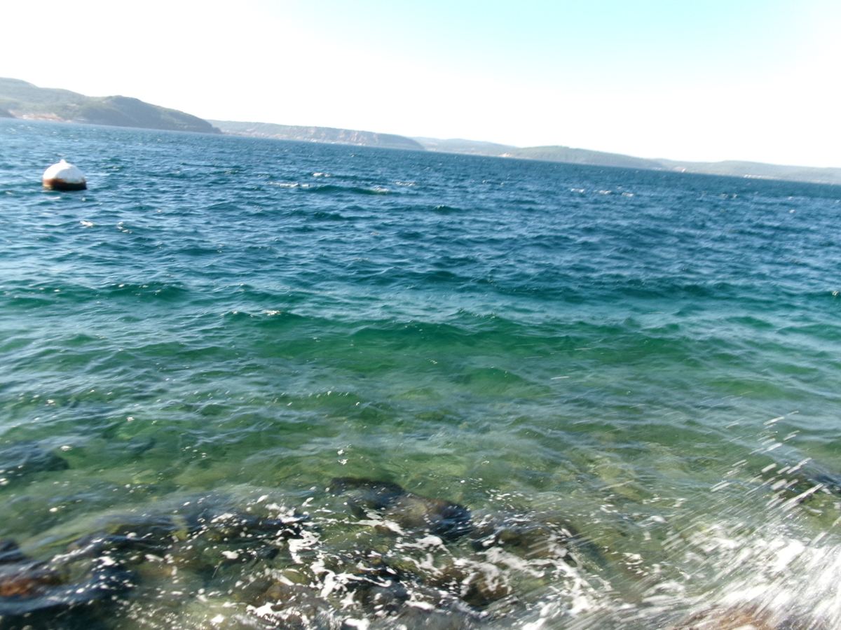
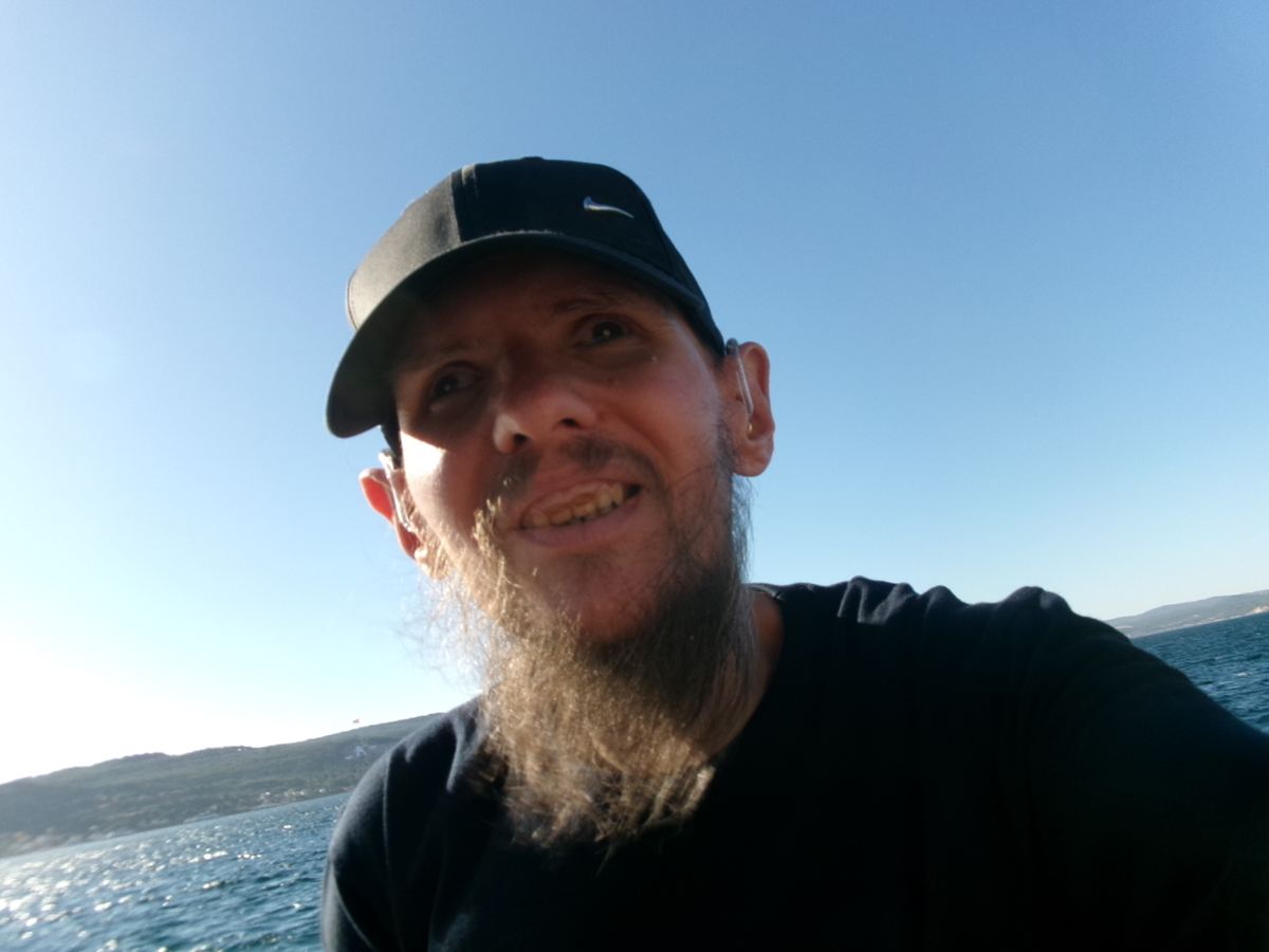
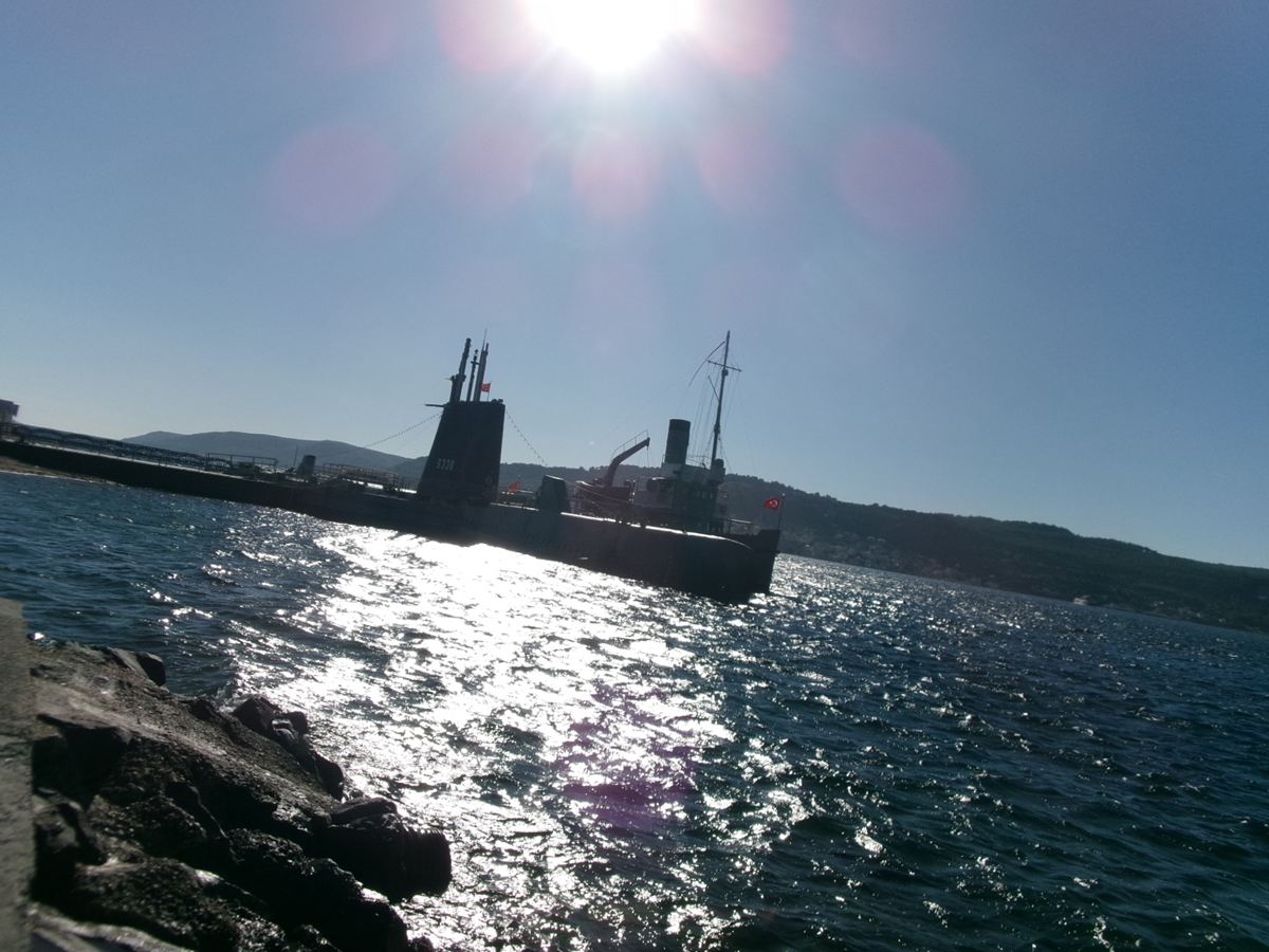
A smiling Tony stood on an outdoor concrete deck in front of a large black submarine marked “S338”. Tony is wearing a black baseball cap, a navy blue T‑shirt with the Bhutanese flag and the word “Bhutan” printed on it. He is holding his white cane in his right hand and his left hand is resting on his hip. The submarine has several vertical masts and periscopes rising from its central tower as well as a small Turkish flag. The submarine was originally known as USS Thornback and was built and launched in 1944. It was struck from the US Navy’s register in 1973, and was then transferred to the Turkish Naval Forces, and renamed TCG Uluçalireis (S 338), serving until 2000. She has since become a museum ship at the Çanakkale Military Marine Museum.Onboard a replica of the Ottoman Navy minelayer ship Nusret at Çanakkale Military Marine Museum (Naval Museum). The original ship was commissioned in 1913 and laid mines that sank three British warships and badly damaged three others in March 1915 during World War I. The ship then served various roles in the Turkish Navy before being sold to commercial interests in 1962. In April 1989, she capsized and sank near Mersin Harbour, and lay there for 10 years before being salvaged in 1999. Nusret was then converted into a museum ship in Mersin, and additionally this replica was built, and opened as a museum ship in Çanakkale in 2011. The photo is taken on the deck. In front are rows of large barrel shaped objects, probably replica sea mines. The Dardanelles extends out ahead lit by the sun reflecting on the sea.Again on the deck of the replica mine-laying ship, Nusret, moored at Çanakkale Military Marine Museum on the Dardanelles strait. From the deck, the deep blue sea can be seen, lit by the sun. In front a man is stood dressed in a baseball cap and a beige polo shirt. He is one of the museum’s staff members and guides. The deck is shaded by a canvas canopy. The floor of the deck is finished with wooden planks and a wooden bench is visible to the left.Clear blue-green water at the rocky shoreline in Çanakkale city centre. Splashes from small waves can be seen. A white and red buoy is floating in the water ahead. In the distance cliffs and hills on the opposite side of the Dardanelles can be seen. At its narrowest point the strait is about 1 mile (1.6km) wide. The sky is slightly hazy giving it a white to pale blue colour.Tony smiling in the foreground. He is wearing a dark cap with the sea behind. Land on the opposite side of the Dardanelles is visible in the distance. Photo taken close to the Military Marine Museum in Çanakkale.Looking out across the Dardanelles from Çanakkale. The historic submarine TCG Uluçalireis (S338) can be seen ahead. The submarine and the water across the strait are illuminated by the sun. The Dardanelles is a narrow, natural strait, which forms part of the continental boundary between Europe and Asia. It is also an internationally significant waterway joining the Aegean and Mediterranean seas with the Sea of Marmara with onward access to the Black Sea.
Evening of Friday 11th September 2026
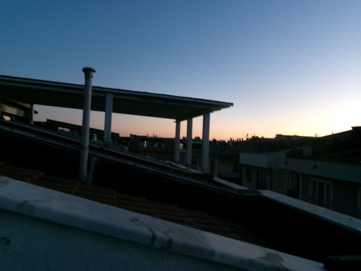
View across rooftops at dusk. The sky is a clear blue. Ahead the sun is almost set with the horizon lit up in a gradient of red-orange through to yellow. Taken from the balcony of Tony’s Turkish friend’s house in Çanakkale. The surrounding roofs are silhouettes with chimneys, satellite dishes, and other structures visible.
Alexandroupolis, Greece
Alexandroupolis (Alexandroupoli) is the capital of the Evros region, in Greek Thrace, northeast Greece. This port city had a population of 71,751 in 2022 and is an important commercial centre.
Tuesday, 15th September 2026
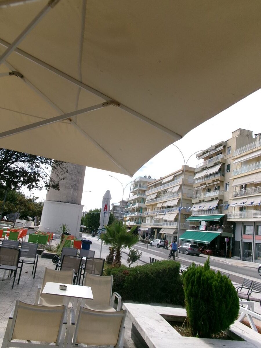
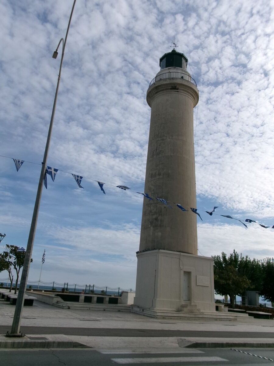
Outdoor café terrace with a large cream-coloured awning overhead. Located on the sea front promenade in Alexandroupolis. The base of Alexandroupolis Lighthouse can be seen directly ahead. The promenade is lined with trees and a road runs along side. It appears quiet with few people in view.View of Alexandroupolis Lighthouse. The lighthouse is an icon of the city. It is located on the seafront promenade on the west side of the port. The lighthouse is formed of a cylindrical tower sitting on a square base with a small door. It is built from cream and grey coloured stone. At the top there is a circle of windows through which the light shines. This is topped with a small green copper dome. The structure stands at 18 metres in height making it one of the tallest lighthouses in Greece. Construction started around 1850 by the French Company of Ottoman Lighthouses and it was officially inaugurated on 1st June 1880. The light guides marine traffic travelling through the Aegean Sea between the Bosporus and the Mediterranean.