
Juneau, state capital of Alaska
Friday, 5th June 2015
 Tony and Tatiana outside the main entrance to the Alaska State Capitol building. Constructed between 1929 and 1931. It houses the Alaska Legislature and the offices for the governor of Alaska.
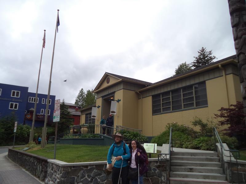 Outside the Juneau-Douglas City Museum, opposite the State Capitol. Tatiana and Tony in front. This small museum includes displays on gold mining, native artefacts and city history.
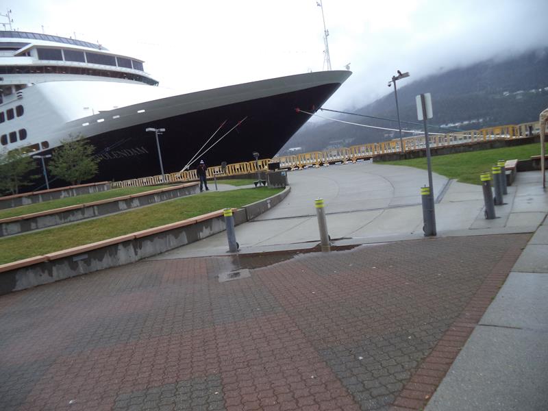 At the ferry terminal. In view, the bow of a large passenger ship docked in the harbour. Beyond is a view across the Gastineau Channel to Douglas Island with thick cloud almost completely obscuring the mountains.
 View down the side of the passenger ship. People boarding along a gangway in front.
 Marine Park next to the harbour. Downtown Juneau in front with the cloud covered Mount Roberts rising steeply beyond. Juneau is surrounded by mountains, the extremely rugged terrain means that despite being the state capital, the city is not connected to the rest of Alaska by road.
 Two ferry terminal employees next to a gangway on to the ship.
 The sea shore close to the ferry terminal. Jetties in front. Here there is only a thin strip of flat built up land before the steep wooded slopes of the mountains rise up.
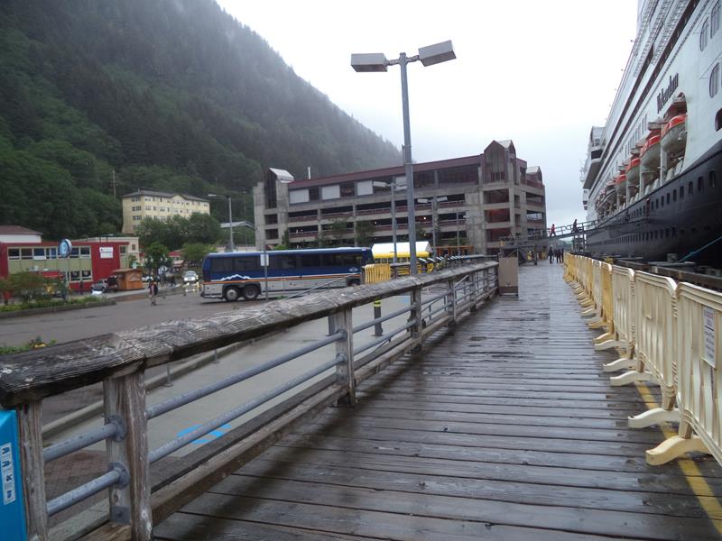
 View across a road outside the ferry terminal to a row of small shops opposite.
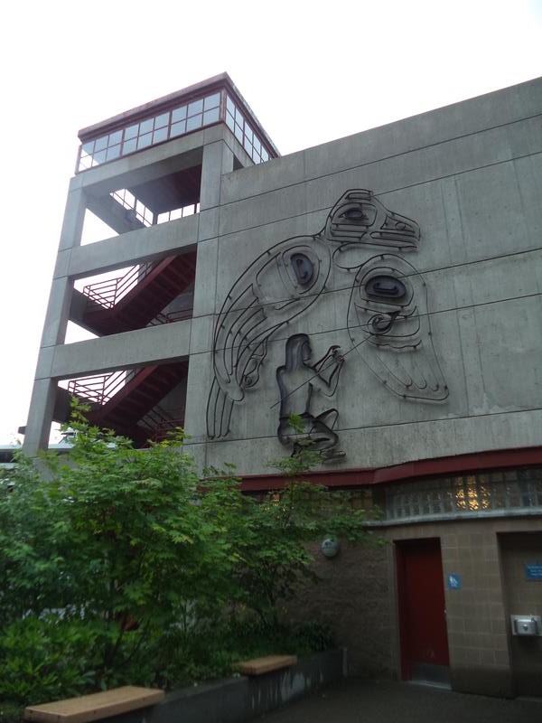 Concrete multi-storey car park with an artwork on the side that appears to depict a native Alaskan man and a bird.
Saturday, 6th June 2015
 Onboard a passenger ferry docked at Juneau harbour. Looking from the stern of the ship along the Gastineau Channel. A mountain visible away in the distance. Tony and Tatiana on their way to Haines, south-east Alaska, travelling on the Alaska Marine Highway.
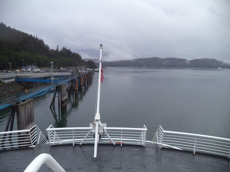 Again looking from the ferry’s stern. An American flag waving immediately below. Harbour side walkways alongside.
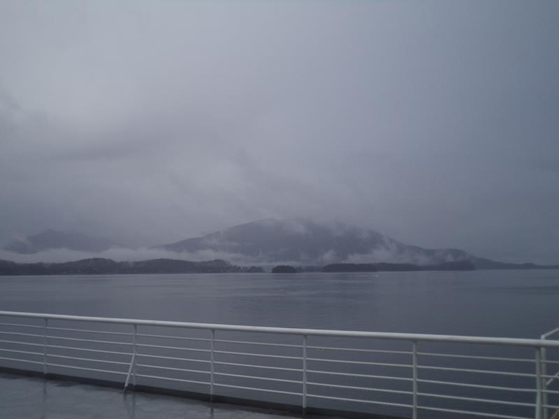 Another view of a mountain mostly visible amongst the scattered cloud and mist.
 Tony on the deck of the ferry.
 Tatiana relaxing outside a wooden cabin at Bear Creek Cabins, Haines, Alaska. Afternoon of 6th June.
 A row of small wooden cabins with thick conifer trees behind. Again at the Bear Creek Cabins. This place also has bunk beds for individual travellers and is 1 mile (1.6 km) from downtown Haines.
 A gravel track leading from a road to the cabins. A larger wooden house to the right.
 Tony and Tatiana with Joey on the balcony of her log cabin.
 View out over the trees with snow-capped mountains with glaciers in the distance. A sunny day in Alaska!
Friday, 12th June 2015
Seattle
Located in Washington State, Seattle is the largest city in the Pacific north-west with an estimated population of 662,400. It sits on an isthmus between the Puget Sound and Lake Washington close to the Pacific Ocean.
 The lower part of the famous Sky Needle. An elevator ascending in the centre of the structure. This observation tower, built for the 1962 World’s Fair, stands at 184 metres (605 feet) in height. It has an observation deck and rotating restaurant at the top. When built it was the tallest structure in the US to the west of the Mississippi River.
 Looking up at the Sky Needle from below. The circular observation deck supported by an iron structure beneath. The lift shaft in the centre.
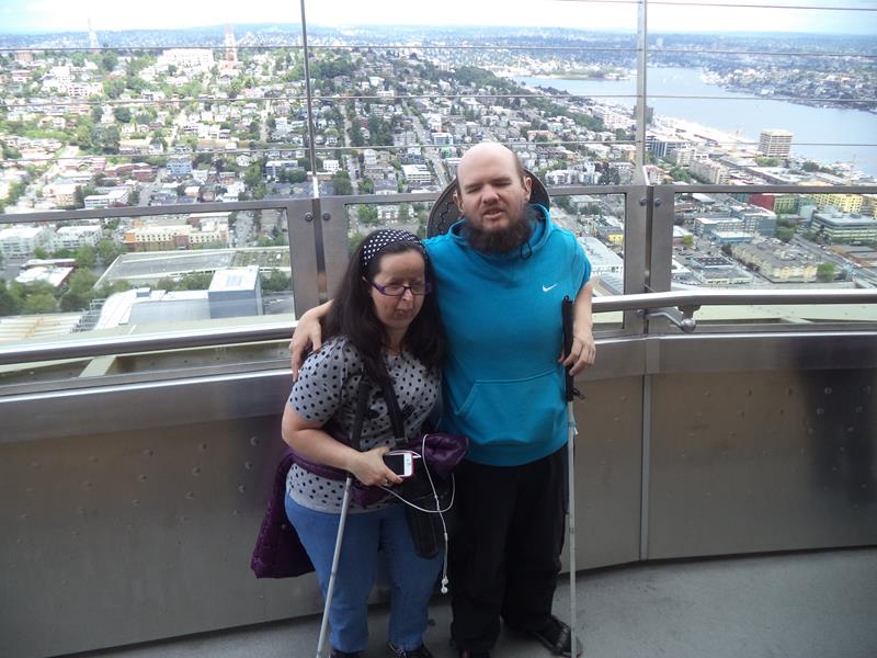 Tony and Tatiana on the Sky Needle’s observation deck. An extensive view of the city spread out below, including Lake Union.
 Again Tatiana and Tony on the observation deck. This time the skyscrapers of the city’s Downtown area can be seen.
 Another good view of Lake Union. Lake Union is in the middle of the isthmus on which Seattle is built. It is joined with the Puget Sound and Lake Washington by the Lake Washington Ship Canal.
 Looking north-east over the city from the observation deck. The city’s buildings disappearing off towards the horizon.
 Tony and Tatiana outside the Experience Music Project (EMP) Museum. Designed by Frank Gehry, its main entrance ‘Sky Church’ supposedly resembles a smashed up guitar and pays homage to rock legend Jimi Hendrix!
Monday, 14th June 2015
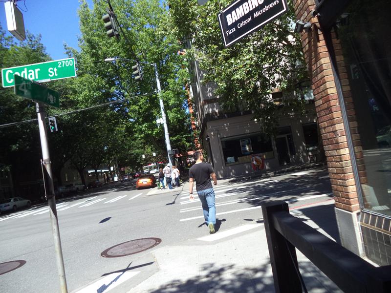 Leafy intersection of Cedar Street and 4th Avenue. Located in the central Belltown area.
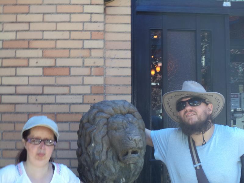 Tony and Tatiana next to a stone lion’s head on a street in central Seattle.
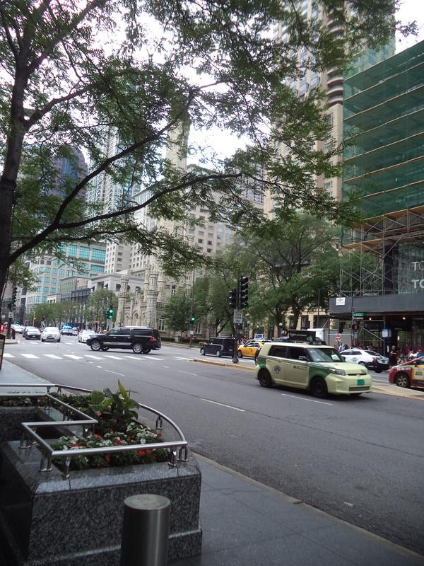
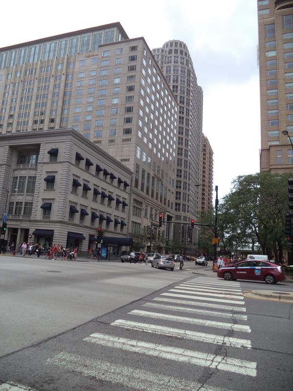
Chicago, Illinois
Chicago is the third most populous city in the United States with over 2.7 million residents. It is located on the south-west shore of Lake Michigan.
Wednesday, 17th June 2015
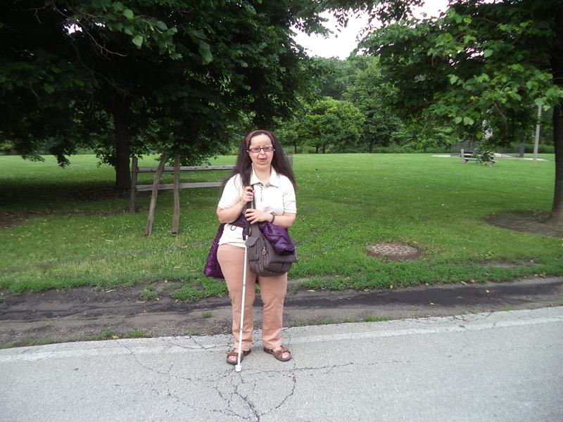 Tatiana in Lincoln Park. Lincoln Park is located on the shore of Lake Michigan north of Chicago’s centre. It is the city’s largest public park covering 1,208 acres and stretching for seven miles (11 km).
 Tony in Lincoln Park.
 Kwanusila totem pole in Lincoln Park. This colourful 12.2 metre (40 foot) tall pole includes a grimacing sea monster at the bottom, a man riding a whale above it and Kwanusila the Thunderbird on top.
 At the north end of Belmont Harbour in Lincoln Park. Facing North Lake Shore Drive running north-south along the side of the park. Tall residential apartment buildings along the road.
 View of Belmont Harbour with small boats moored.
 Tatiana sitting on a bench in Lincoln Park.
 Another shot across Belmont Harbour towards Lake Michigan. Many small yachts anchored.
 A main road passing through a concrete underpass. The wall opposite decorated with a large mural, depicting things including a bird and bike wheel.
Thursday, 18th June 2015
 View from the John Hancock Center. This skyscraper has 100 storeys and stands at 344 metres (1,127 feet) making it the seventh tallest building in the United States. It contains offices, restaurants and residential apartments.
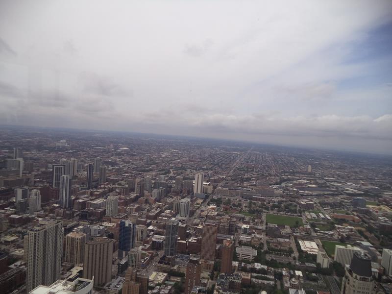 Excellent view inland (west) from the observatory on the 94th floor of the John Hancock Center.
 Looking out over Chicago. Other skyscrapers looking comparatively small below.
 Tatiana sitting at a table in a restaurant near the top of the John Hancock Center.
 The John Hancock Center at street level.
 Looking across a road towards the Chicago Water Tower (partly obscured by trees). This tower was built in 1869 and stands at 47 metres (154 feet). It originally housed a large water pump to draw water from Lake Michigan.
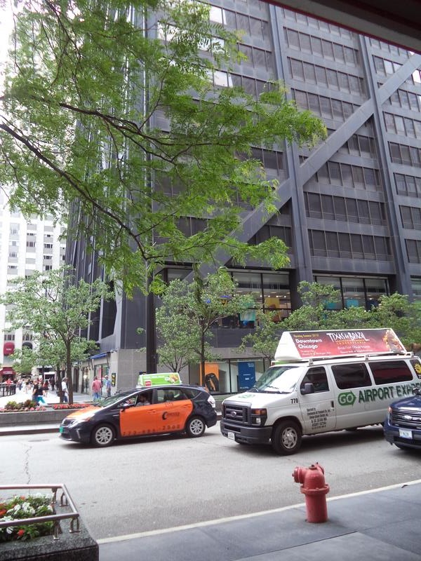
 View along East Chicago Avenue, lined with tall buildings. The Peninsula Hotel opposite on the left.
 Large lobby inside the Railway Exchange Building (Santa Fe Building). Looking towards a staircase. White-glazed terracotta walls with a glass ceiling. Built 1903–1904.
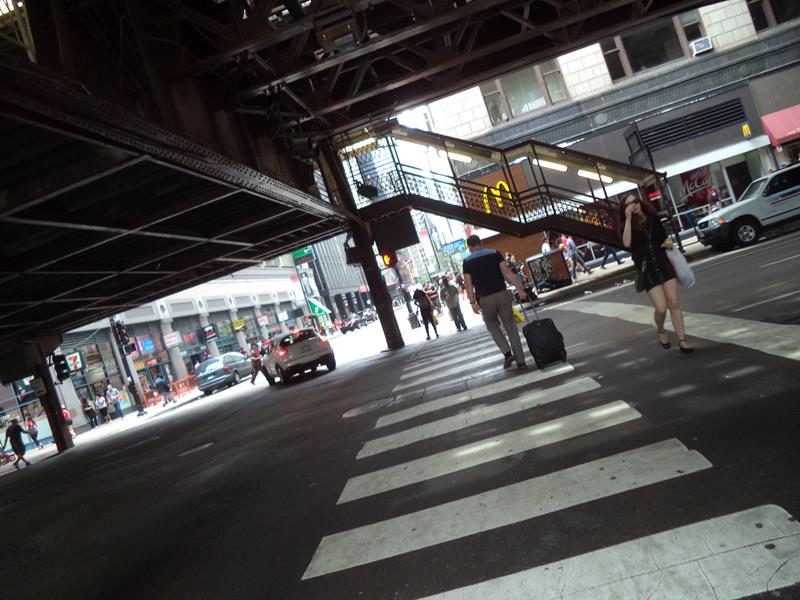 Standing under a railway bridge, close to the Railway Exchange Building in central Chicago.
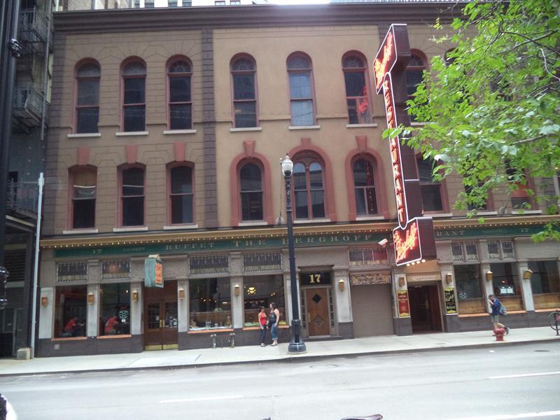 Opposite the Berghoff Restaurant located on West Adams Street. This restaurant was opened in 1898 by Herman Joseph Berghoff and has become a Chicago landmark.
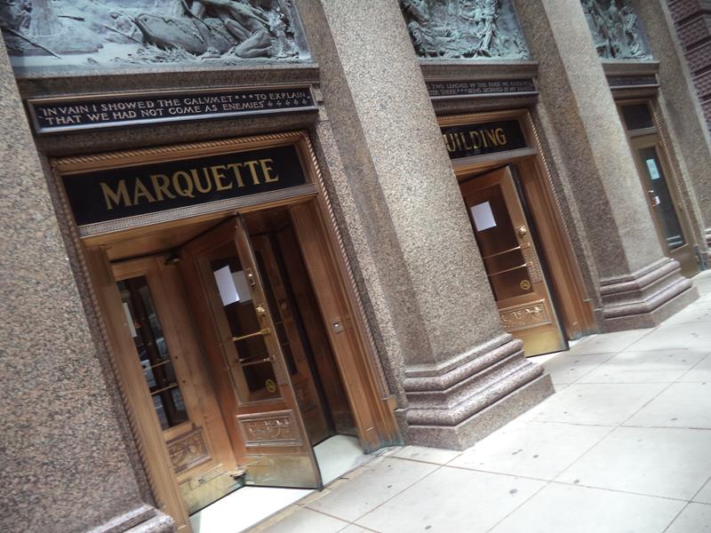 Entrance to the Marquette Building. Completed in 1895, this early steel-framed skyscraper is considered one of the best examples of the Chicago School of architecture.
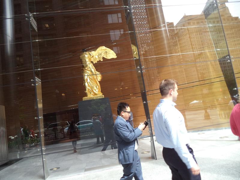 Looking through a large window at a golden sculpture in the lobby of the Bank One Center. This is a reproduction of an Ancient Greek sculpture, the Winged Victory of Samothrace. The original is in the Louvre, Paris.
 Junction of South Clark Street and West Adams Street. The Bank of America Building (Field Building) is to the left. It is Art Deco in style and is 163 metres (535 feet) in height. Completed in 1934.
 Inside the Bank of America Building. A long entrance lobby again in Art Deco style.
 A large Art Deco US Mail Letter Box inside the Bank of America Building.
 Junction of South La Salle Street and West Adams Street looking towards The Rookery. This twelve storey building was completed by John Wellborn Root and Daniel Burnham of Burnham and Root in 1888.
 View from a railway bridge towards skyscrapers, including the 346 metre (1,136 foot) Aon Center completed in 1974 (its top out of view). The building in the foreground is the Art Institute of Chicago.
 Facing west across the railway bridge towards Metropolitan Tower and the McCormick Building.
 Now looking south from the railway bridge towards more skyscrapers in the Near South Side. The tallest is One Museum Park at 221 metres (726 feet). This residential tower was completed in 2009.
 Flower beds planted with roses in a public park. This is in one of several adjoining parks east of the centre next to Lake Michigan.
 A pond with water spraying towards a female statue in the centre. Again in a public park.