Scarborough Castle is located in the town of Scarborough in North Yorkshire, England. This former medieval Royal fortress sits on a promontory overlooking the town and the North Sea. The present stone castle dates from the 1150s. There was an earlier wooden castle, and going back in time before this, an Anglo-Scandinavian settlement, a Roman signal station and an Iron Age settlement. Today the site is a scheduled monument open to the public and managed by English Heritage.
Thursday, 23rd June 2022
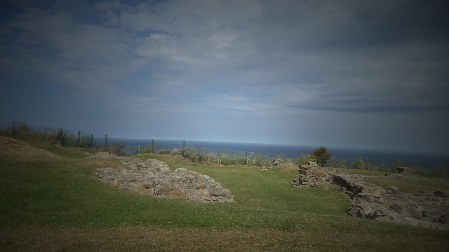
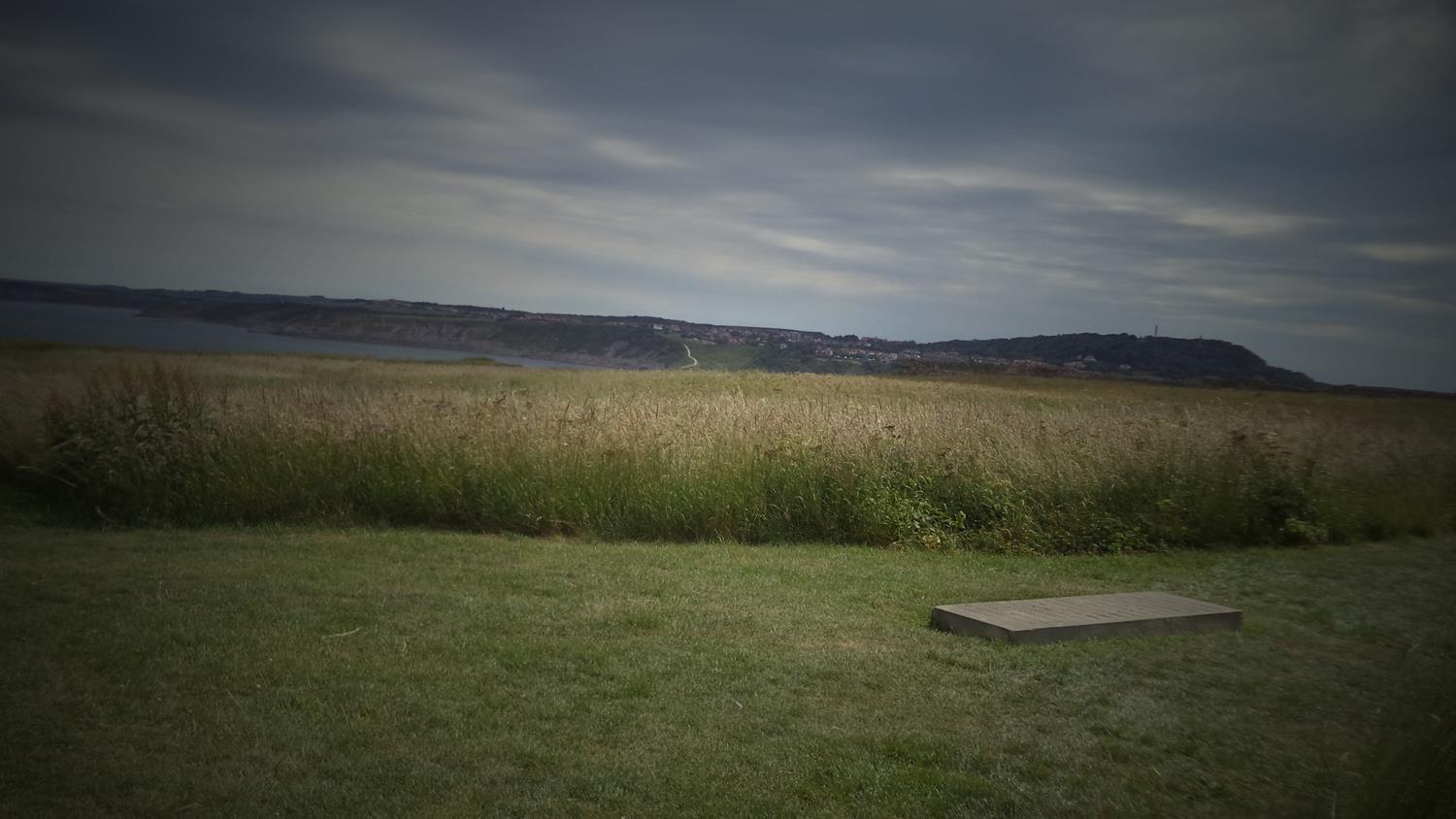
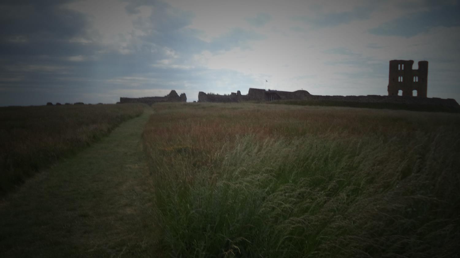
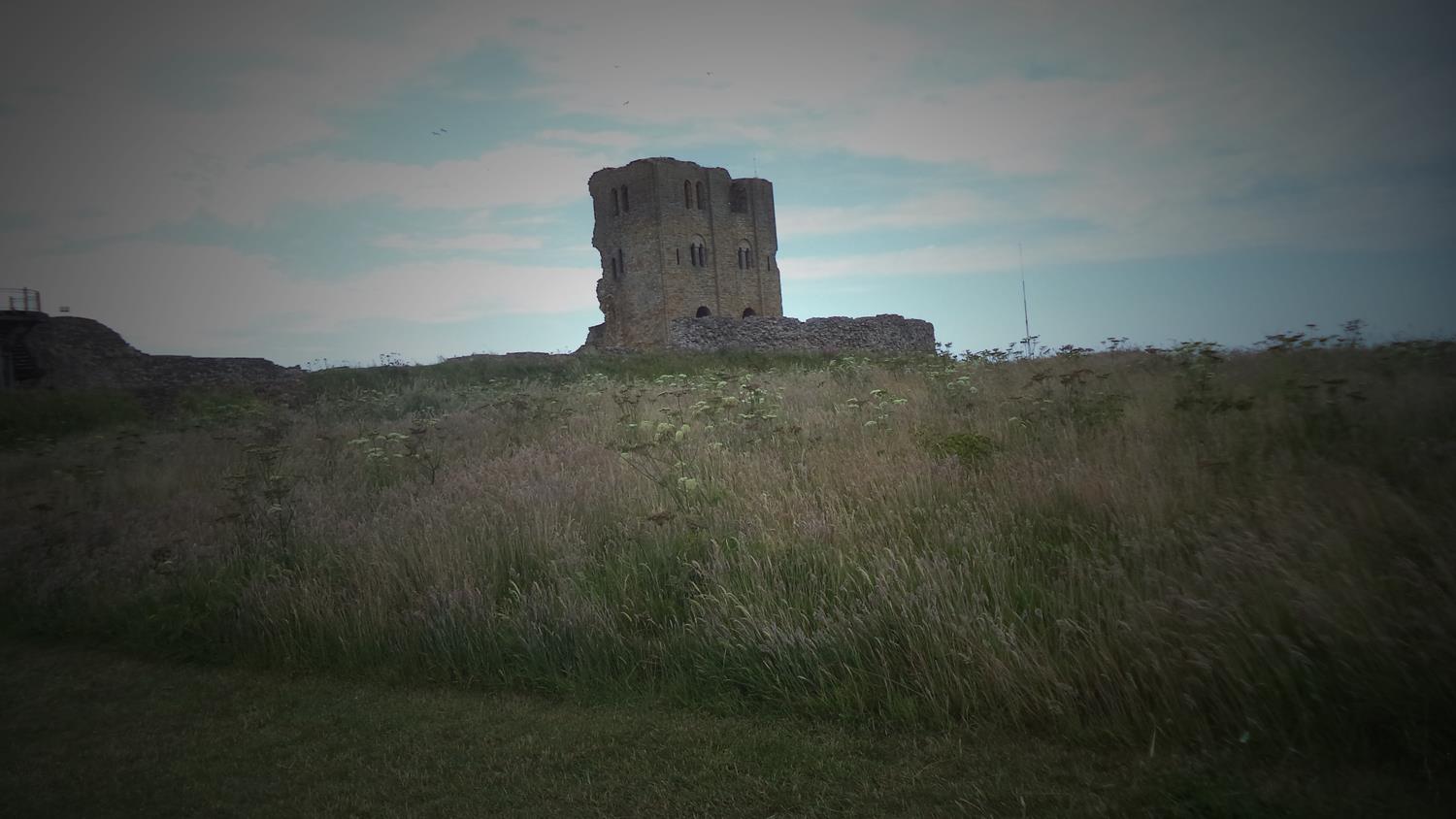
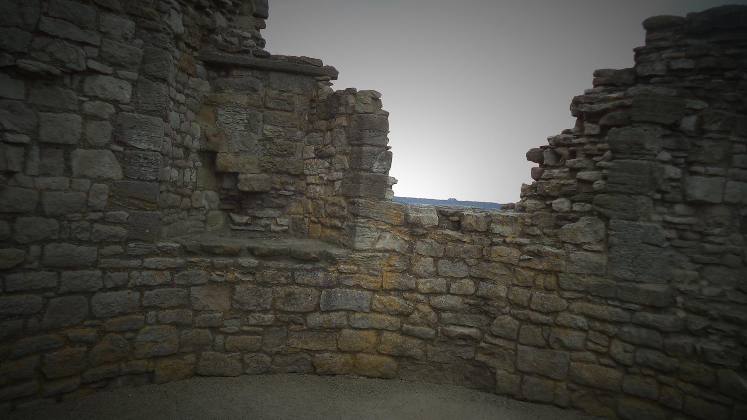
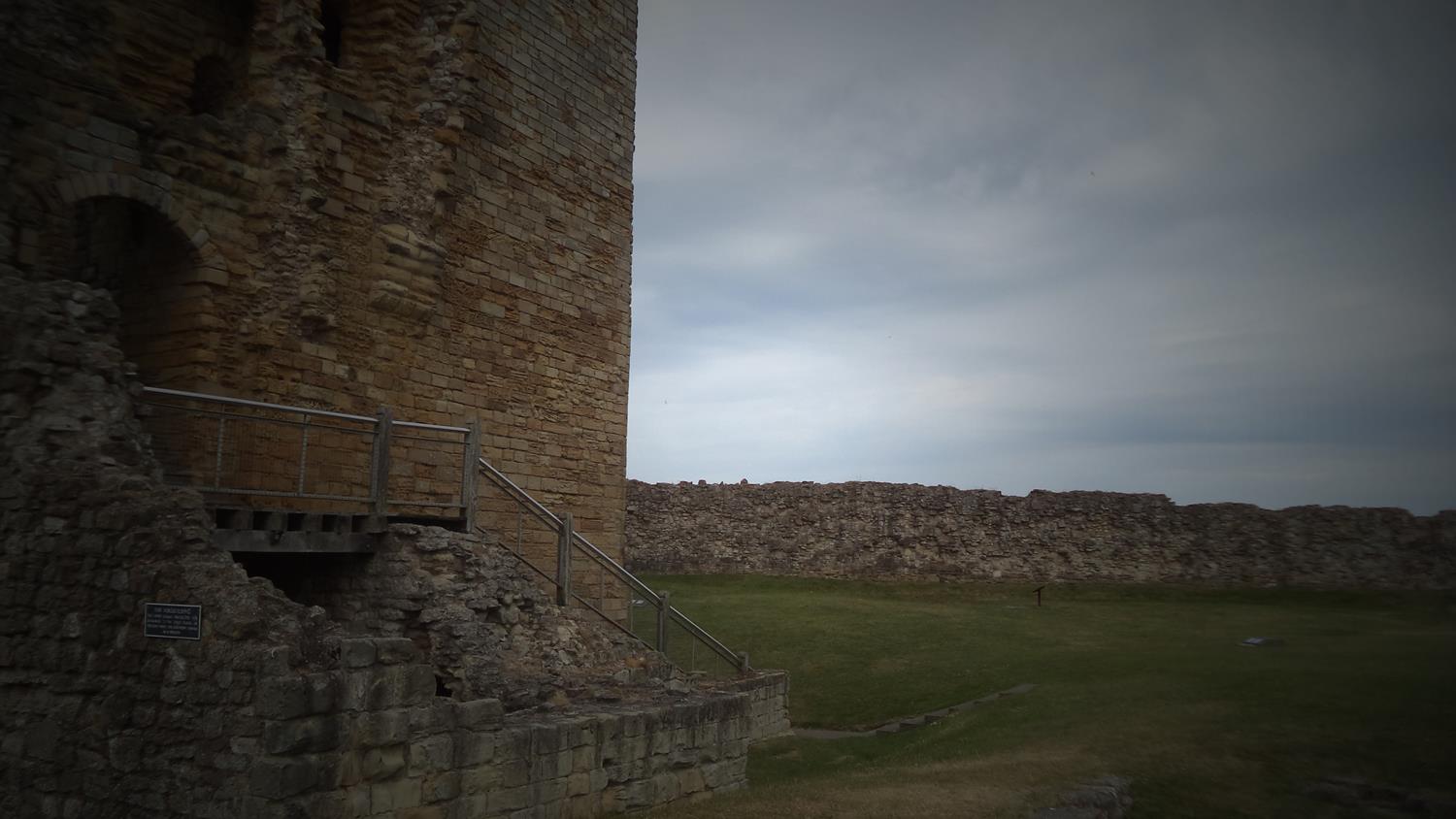
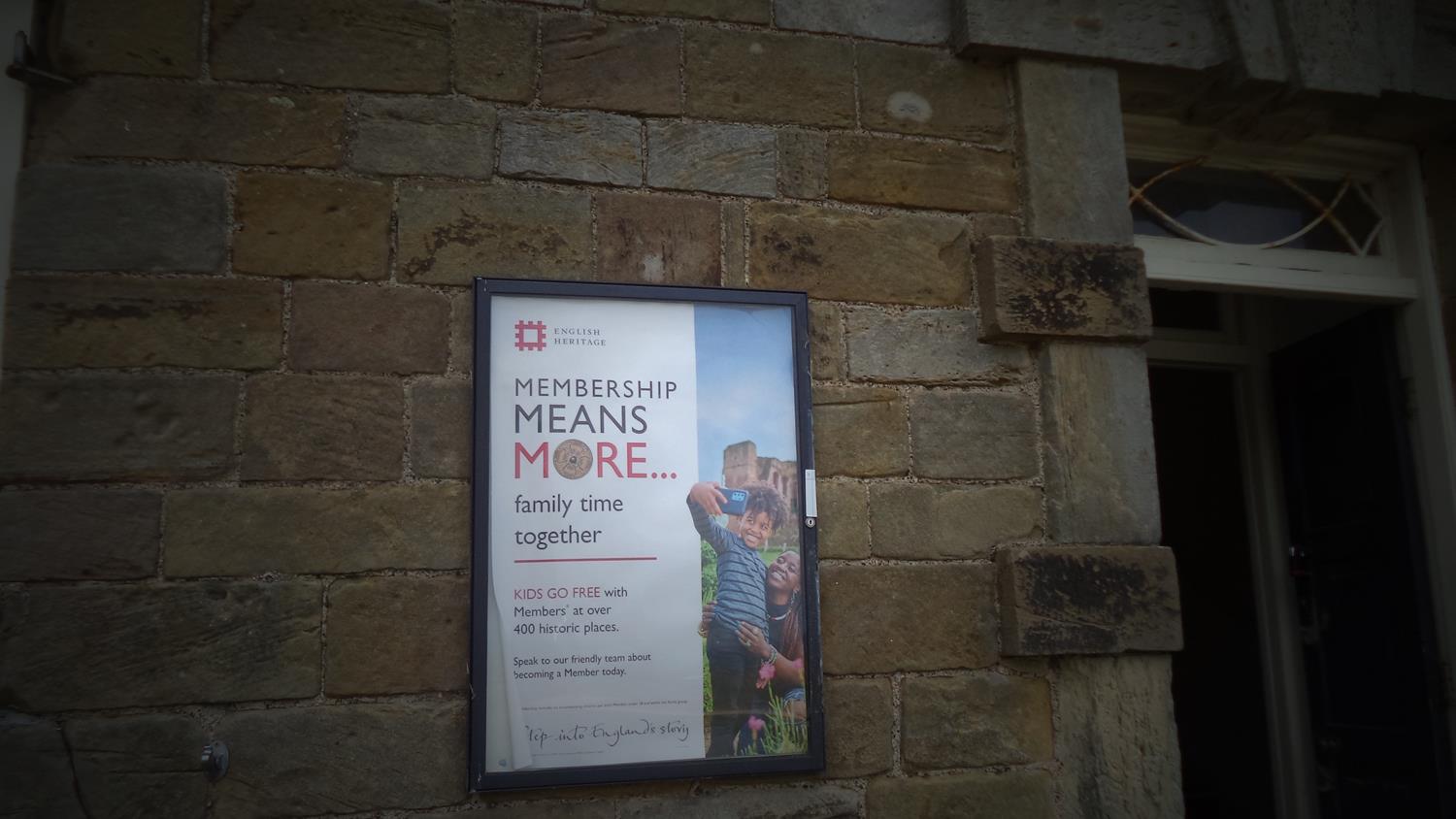
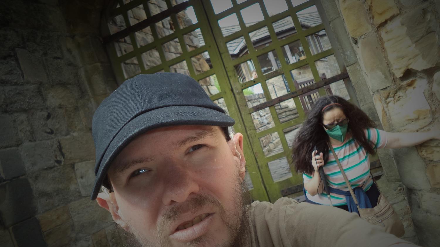
Gift shop at the entrance to Scarborough Castle.Heading along a grass path within the Scarborough Castle site towards the remains of a Roman signal station and Anglo-Saxon chapel. There is a view out into the North Sea beyond. The site is on a defensive rocky promontory with high cliffs up to 91 metres (300 feet) in height on three sides. The landward side is protected with ditches and defensive walls.Approaching the remains of the Roman signal station and Anglo-Saxon chapel. This part of the site is located at the top of the cliffs at the end of the promontory with excellent views out to sea. The signal station dates from the 4th century AD. It is one of several signal stations discovered along the Yorkshire coast. Its purpose was to warn of hostile vessels approaching by sea. Excavations in the 1920s revealed a square tower which would have been made of wood on a stone base. It was surrounded by a courtyard with a gatehouse and an outer ditch.The signal station site which is mostly covered with grass with various stone walls close to ground level. There are also earth banks and ditches.The “Well of Our Lady” which provided fresh water to the Roman signal station and a later Anglo-Saxon chapel and settlement. The top of the well is covered with a protective metal grill with a stone surround.Remains of stone walls, some of which may have been part of the Anglo-Saxon chapel. The chapel was built around the year 1000. It is reputed to have been destroyed during the attempted invasion of England by Norwegian King Harald Hardrada in 1066, although there is no archaeological evidence to support this.More stone walls showing the outline of buildings at the site of the Anglo-Saxon chapel and settlement as well as the Roman signal station. An earthen bank that once surrounded the site can also be seen. The North Sea is visible extending to the horizon beyond.A view over Scarborough’s South Bay from the castle. In the foreground, a memorial stone at the site of the Anglo-Saxon chapel and settlement. It marks the spot where human remains dating from the Middle Ages were reinterred. The remains were uncovered during excavations in 1921.View from the site of the Roman signal station over grassland to the ruins of Scarborough Castle itself. The three-storey keep can be seen along with surrounding curtain walls.Surviving defensive stone walls along the perimeter of the site. Here parts of the wall rise to approximately 3.5 metres (12 feet) in height.A closer view of Scarborough Castle’s keep. This three-storey stone keep was built by King Henry II between 1159 and 1169 replacing an earlier wooden structure. During the English Civil War (1642–1648) the castle changed hands several times and was subject to a five-month siege in 1645 with the Royalists defending this strategic location against the Parliamentarians. The keep’s west wall was largely destroyed during the bombardment by cannon that occurred. The other three walls still stand today.A surviving part of the curtain walls that surround the castle. These walls like the keep were badly damaged during the Civil War. They were also seriously damaged when Scarborough was bombarded by two German warships on 16th December 1914. A hail of 500 shells was directed at the castle as well as the town itself.At the top of the castle’s main well which is located within the inner bailey. This large well is 46 metres (150 feet) in depth.The entrance into Scarborough Castle’s keep. The ground floor of the keep survives, while only the outer shell with three side walls survives for the upper storeys, with the floors, roof and west wall missing. The walls range from 3.4 to 4.6 metres (11 to 15 feet) in thickness.Another view of the 12th century three-storey keep that rises to 26 metres (86 feet) in height.The Master Gunner’s House with two historic cannons outside. This substantial stone house was built in 1748. Today it houses an exhibition on the history of the castle.The main doorway into the Master Gunner’s House with an English Heritage poster along side.The steep narrow road leading up to the castle. It is paved with stone and there are stone walls on both sides.Tony and Tatiana outside a gate through the castle’s outer walls.A view of Scarborough Castle’s outer curtain walls from below. At this point trees cover a steep bank at the landward side of the castle.