
Kefalonia (Cephalonia)
6th-11th September 2013
Kefalonia is the largest of the Ionian Islands. It is located in the Ionian Sea, west of mainland Greece. Argostoli is the capital town.
7th September
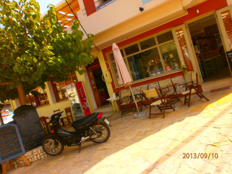
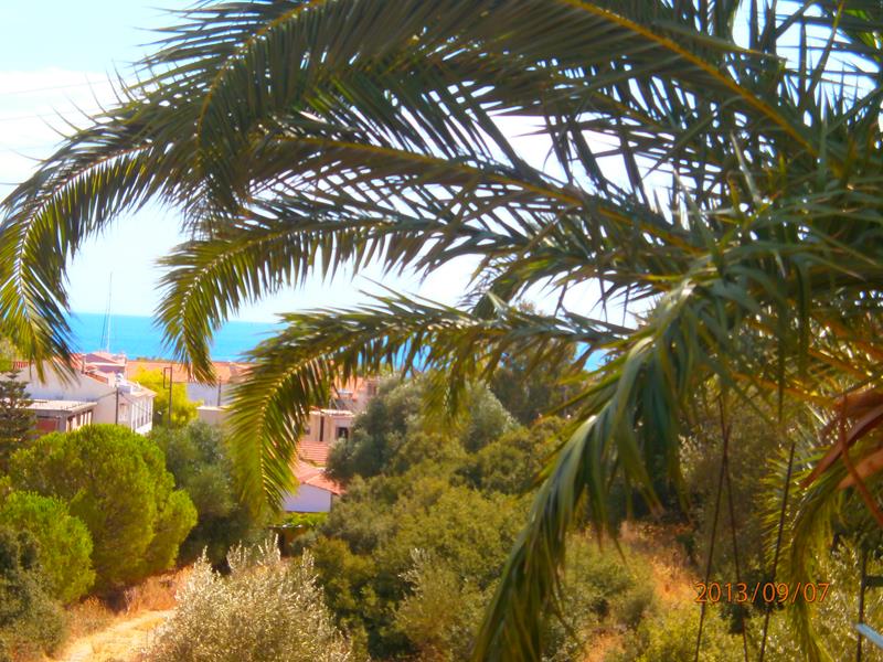 View through palm fronds across Agia Eufemia village to the blue sea. This is the village where Tony and Tatiana stayed.
8th September
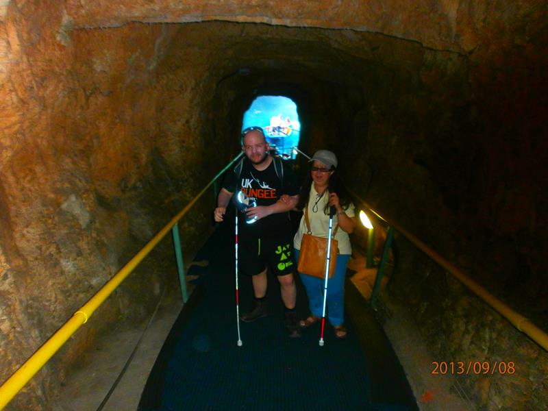
 Tony and Tatiana in a tunnel cut through rock that leads to Melissani Cave. The cave contains a subterranean lake. The rock above part of the lake has collapsed revealing the sky above. The cave and lake are located 2 km (1.2 miles) north-west of Sami town and 5.5 km (3.5 miles) south of Agia Eufemia.
 Looking the other way down the tunnel. The pale blue water of the lake can be seen at the bottom. Small boats take visitors through the water filled caves from there.
 Tony and Tatiana in a boat on the lake. Sunlight shining through the collapsed roof above.
 Still in the boat, now in semi-darkness, the rock wall of the cave just visible behind.
 Emerging back into the light of the collapsed central section of the lake. Tall inward sloping rock walls at the sides. A man standing in the boat driving and steering it with oars.
 Now in Drogarati Caves, again located close to Sami. Tony and Tatiana touching the bottom of a large stalactite. The cave is entered via a 44 metre long descending passageway that leads to a chamber of about 30 by 40 metres. The cave has excellent acoustics, and is sometimes used for concerts, performed on a special platform.
 Tony and Tatiana touching a big stalagmite.
 Another stalagmite: it splits half way up into two upward pointing prongs.
9th September
A day cruise from Kefalonia around part of the coastline of Lefkada, a large island located north-east of Kefalonia and close to mainland Greece. The cruise visited Nidri, the largest resort, which is 20 km (12.5 miles) north of Vasiliki, where car ferries travel to Kefalonia, Ithaki and Meganisi islands.
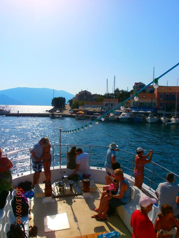
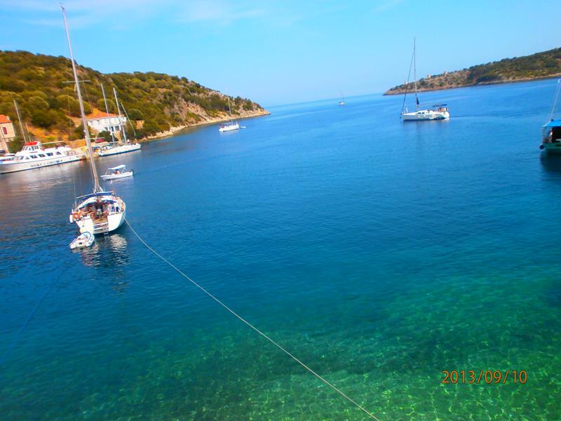
 On-board the boat at the start of the day cruise. Smaller sailing boats alongside in the harbour at Agia Eufemia.
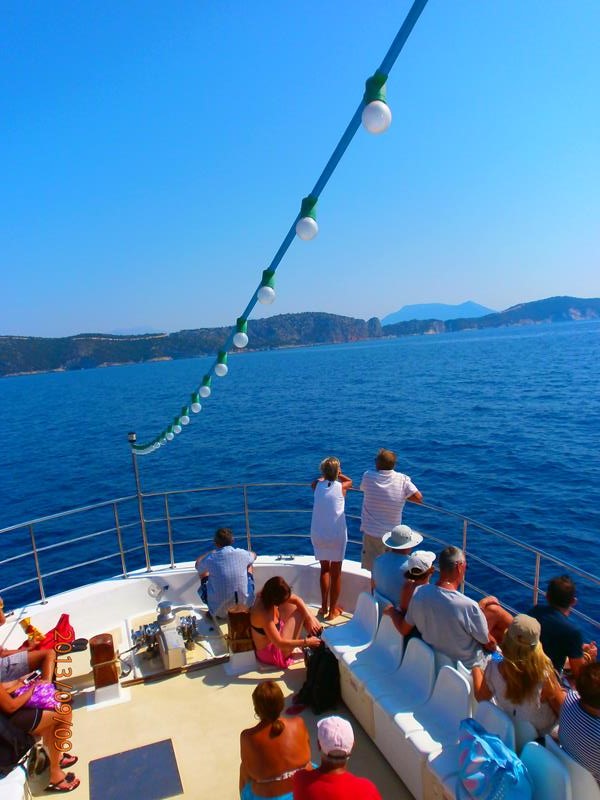
 Now at sea. Fellow passengers sitting in front. View over the sea towards land, possibly the island of Ithaki (Ithaca), which is north-east of Kefalonia across a narrow strait.
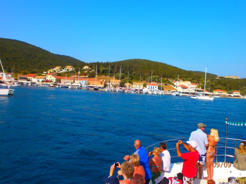 Approaching the fishing village of Fiskardo, the northernmost port of Kefalonia. Boats moored along the sea front.
 In Fiskardo harbour. Towards the bow of the boat with other passengers.
 Looking towards high cliffs away in the middle distance. This is probably Meganisi (literally ‘big island’), located immediately to the east-southeast of Lefkada and north-east of Kefalonia.
 The boat approaching a large famous sea cave at Meganisi. The cave was used in World War II to hide Italian warships and was attacked by a Greek submarine.
 The cave close in front. Fellow passengers taking photos.
 View of the coastline of Lefkada. The island’s rocky slopes continuing right down into the sea.
 Looking from near the bow of the boat. The coastline of Lefkada stretching out in front. Meganisi also close by but mostly out of shot on the right side.
 Passing a tree covered island with a luxury yacht in view. The island is either Sparti or Skorpios, the latter was once owned by Aristotle Onassis, and is now owned by the daughter of a Russian billionaire.
 By a statue of Aristotle Onassis, at Nidri, the largest resort on Lefcada. Aristotle Onassis (1906-1975) was a prominent Greek shipping magnate and once one of the wealthiest men in the world. His statue faces Skorpios, the nearby private island, where he is buried.
 Tony and Tatiana on the sea front promenade at Nidri.
 Leaving Nidri with the islands of Sparti and Skorpios in front and Meganisi rising up behind.
 Fellow passengers relaxing at the front of the boat. The boat back in Fiskardo harbour on the return trip.
 Still on the boat. A row of yachts at the harbour side in Fiskardo. Traditional houses behind.
10th September
Cruise around Ithaki (Ithaca), which lies off the north-east side of Kefalonia across a narrow strait. The capital is Vathy.
 Swimming stop on the Ithaki cruise. Looking towards a sandy beach. Person snorkelling in the sea in front.
 Another view from the boat towards the sandy beach. People swimming in the sea.
 The hilly coastline of Ithaki.
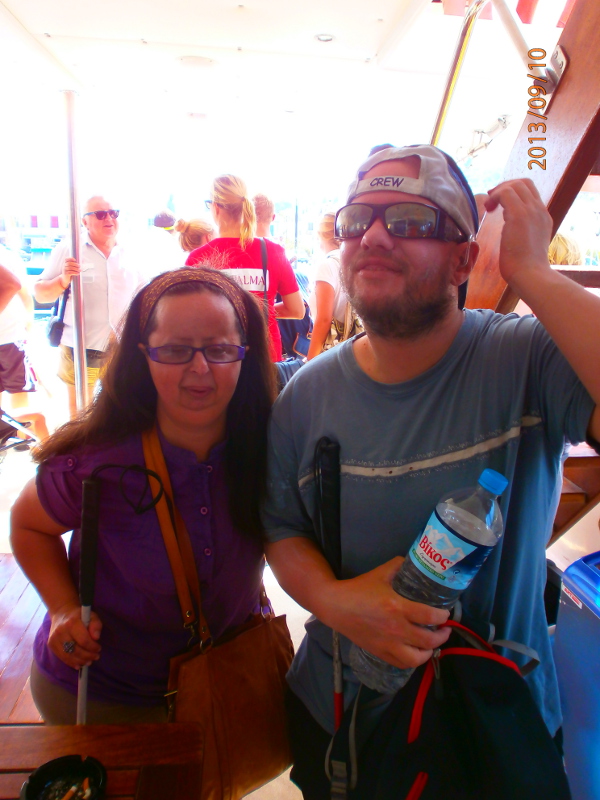 Tatiana and Tony on-board the cruise boat.
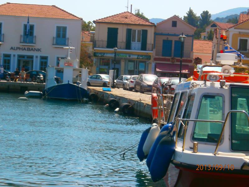 The harbour at Vathy. The boat stopped here for lunch.
 Back on the boat. Looking towards the stern.
 Tony and Tatiana on the harbour side in the small coastal village of Kioni on Ithaki. Lots of people leaving the cruise boat off to the side.
 Again Tatiana and Tony. Behind a view across the bay at Kioni to a wooded hill opposite.
 Row of yachts moored in the harbour.
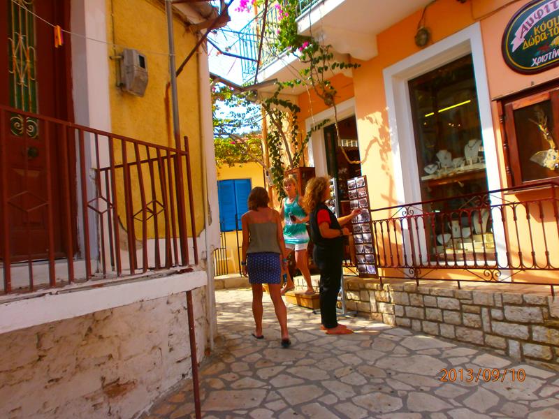 A narrow street in Kioni. A souvenir shop in front.
 A small square with a café at the side. Tables outside.
 Looking up a pedestrian street. Cafés and shops along one side.
 View across part of Kioni village to a hill covered with trees and dispersed houses behind.
 Looking out from Kioni across the bay. The sea bed can be seen through the shallow water directly in front. The water turquoise-blue.
Zakynthos
Zakynthos is the third largest of the Ionian Islands. It lies in the eastern part of the Ionian Sea, around 20 kilometres (12 miles) west of the Greek (Peloponnese) mainland and 15 kilometres (9 miles) south of Kefalonia. The capital is Zakynthos Town (Hora), which lies on the eastern part of the north coast.
12th September
Boat trip around Zakynthos.
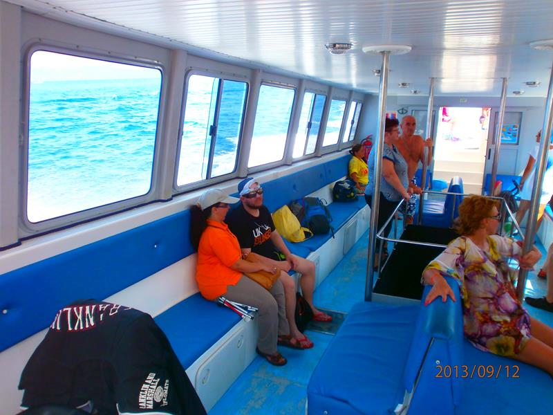 Tatiana and Tony with other passengers inside a boat. The boat left from a small harbour in Zakynthos and headed south along the island’s coast.
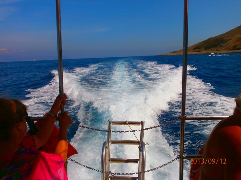 Looking from the stern of the boat. A long trail of waves and spray generated by the propellers in the water behind.
 Tall white coloured cliffs of Zakynthos’s south-west coast.
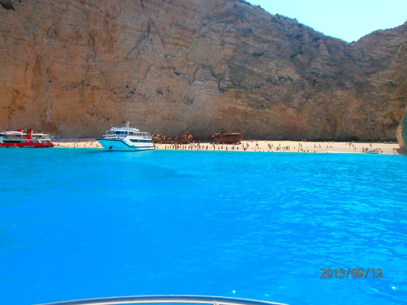 Famous isolated Navagio Beach cove with white pebbles and turquoise water. Surrounded by high cliffs. Located near Anafonitiria Village.
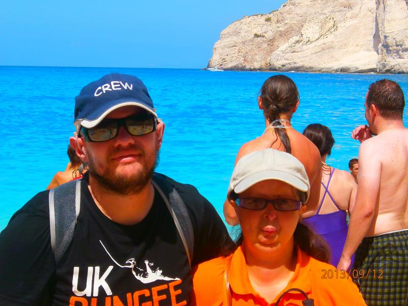 Close-up of Tony and Tatiana on Navagio Beach.
 Tony and Tatiana in front of the rusted shipwreck of MV Panagiotis on Navagio Beach. This ship sunk on the shore around 1980.
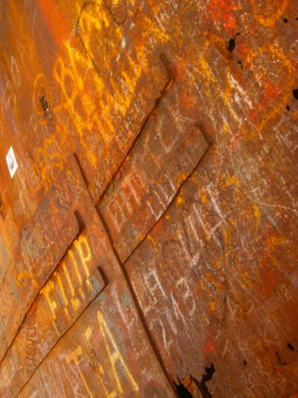 Graffiti on the side of the wrecked ship.
 Now back on the boat looking at the entrance to a sea cave in a cliff. There are several “Blue Caves” cut into cliffs around Cape Skinari on Zakynthos’s north coast.
 Ruins of stone walls high up on the edge of the cliff. Appears to have once been a building.
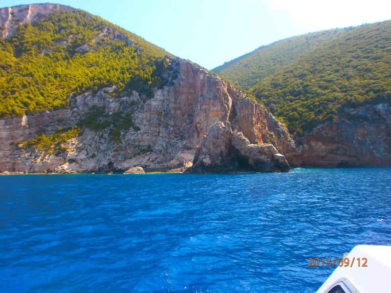
 Another picturesque view from the boat. Looking into a bay with high uneven cliffs. Rocks protruding from the water.
 Looking into a small isolated cove. Cliffs at either side.
 More cliffs with trees and scrub above.
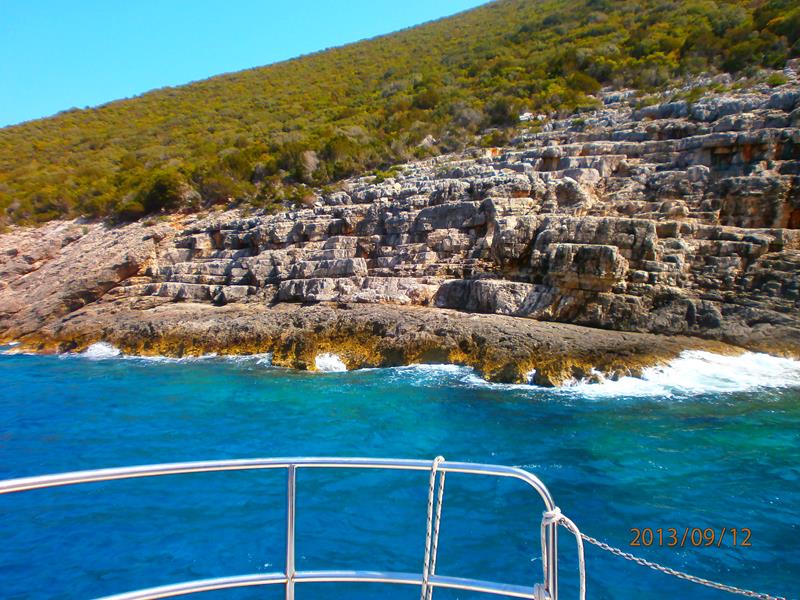 The boat close to the shore. Layers of strata visible in the rock in front.
 A row of three small caves cut by the sea into the cliff.
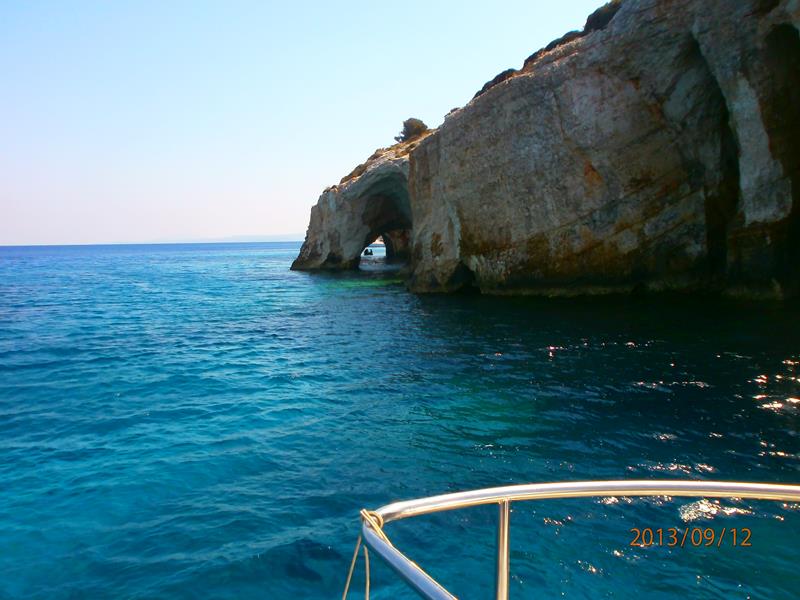 A natural arch extending from the cliff. Looking through from one side.
 Looking to the side of the arch’s outer pillar. Interesting shapes in the rock of the cliffs behind.
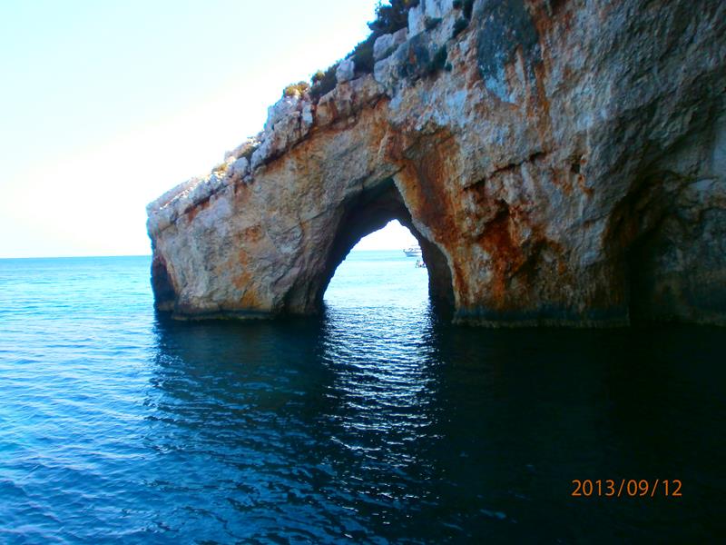 The boat now up close at the side of the arch.
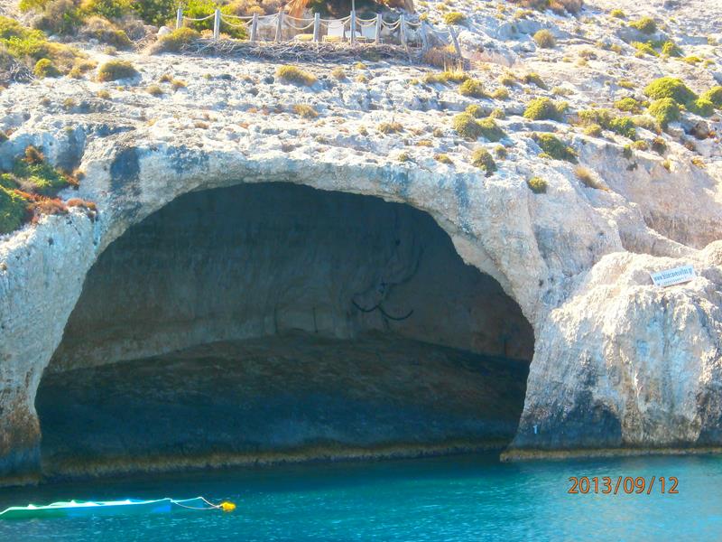 A massive cave opening into the cliff: very wide but quite shallow. The whole of Zakynthos’s western shore, from Keri, in the south, to Skinari, in the north, has interesting rock formations, particularly arches.
 Looking up close at a small curious hole in the cliff at sea level.
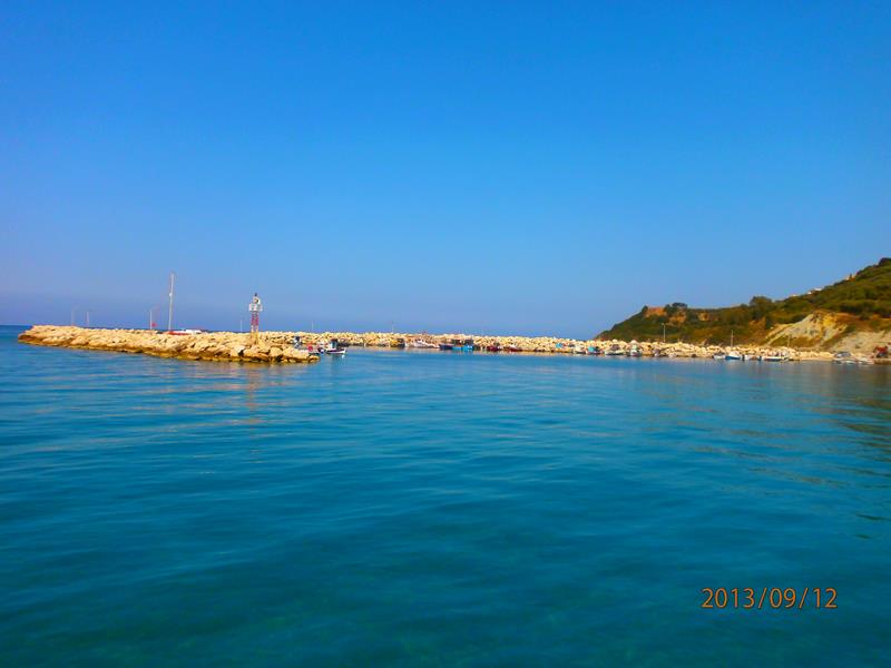 The boat entering a harbour. An outer sea wall constructed of loose rock in front.
Patras
Western mainland Greece
14th September
 A pair of doorways into a Greek Orthodox church.